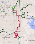
A paved bicycle trail that the city of Sumner built along the scenic White River has gone a long way toward connecting two great rail-trails — the Interurban (South) Trail in King County and the Foothills Trail in Pierce County.
The last section of the Sumner Link Trail completed this spring closed a gap in 8.4-mile trek that bicyclists can take to get from the Interurban trailhead in Pacific to the Foothills trailhead in East Puyallup.
Now the route comprises 5.4 miles of bike trail, 2 miles of no shoulder roadway with a narrow bridge, and 1 mile of dead-end farm road with no traffic at all.
When a couple of us headed down to Mount Rainier National Park for a camping trip a few years ago, we returned via the Foothills and Interurban trails. Although we had local maps, it took us hours to find a route across the no-man’s land between the two trails.
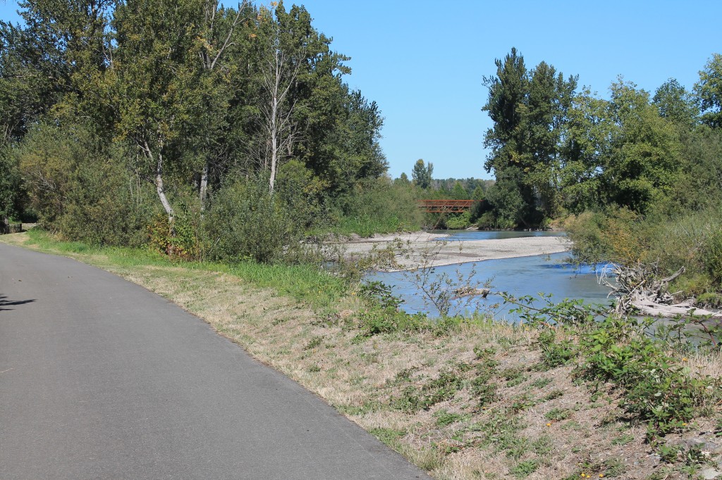
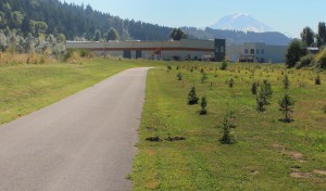
When I took this flat, fool-proof route earlier this week, the 8.4-mile ride seemed to fly past. I crossed bridges with awesome views of the chalky White River, saw the confluence of the White and Puyallup rivers, passed cropland that stretched to the base of ridges and caught glimpses of Mount Rainier. Of course I also saw the back lots of several industrial parks.
Communities make bicycling more accessible to everyone when they connect these trails. Kudos to Sumner for finishing this. The final step is making a safe route between 3rd Avenue in Pacific and 8th Street in Pierce County.
Cue sheet
Here’s a cue sheet, which I suggest using with my map at RideWithGPS.com (see below). Also, if you have my “Best Bike Rides Seattle” guidebook, you can use this route to connect Chapter 13 “Green River – Interurban Trails” to Chapter 16 “Foothills Trail.”
0.0 Starting at Interurban trailhead in Pacific, turn left onto 3rd Avenue (freshly painted bike lane).
0.7 Turn right on Butte Avenue SE (The next mile is on a shoulderless road. It starts out in a residential district, but there can be truck traffic toward the southern end.)
1.7 Turn left onto 8th Street. (The first block is shoulderless and can have truck traffic. Immediately crosses a narrow bridge after which a wide sidewalk/path starts.)
2.0 Turn right from sidewalk/path onto asphalt trail. This follows the winding White River south through farmland to some industrial parks in Sumner.
5.2 Follow right branch of trail beneath Tacoma Avenue bridge.
5.6 Continue straight onto bike lane or adjacent sidewalk on Fryar Avenue.
6.2 Cross Bridge Street / Main Street and take second right. A 12-foot wide sidewalk serves as a path in front of houses on East Main Street then becomes a trail.
6.8 Bear left in park at confluence of Puyallup and White rivers.
7.2 Turn right onto path adjacent to East Main Avenue, cross bridge, then make a sharp right onto access trail to Riverwalk Trail. Turn right onto Riverwalk Trail and proceed beneath bridges to concrete barriers.
7.3 Go around concrete barriers, turn right up a short gravel grade, and look for a path through the bushes that goes around a gate. Continue south onto 134th Avenue (no sign).
8.1 Cross 20th Street and arrive at Foothills Trail. Turn left to reach restrooms and water.


2 comments
1 pings
note that the turn onto Butte at 0.7 Mi is really a right turn, not a left.
Author
Fixed. Thanks
[…] We spent the next hour picking our way from the end of the Foothills Trail to the beginning of the Interurban Trail up the road in Pacific. I’m always surprised how few communities can work together to designate bike routes that link separate bike trails. I’ll have to ride this three or four more times before I find a decent route. [There's been progress in this matter. See — New Sumner bike trail helps close the gap between Interurban South and Foothills Trails] […]